Lakes, a River and a Creek Inside City Limits
Sugar Land is the largest city in Fort Bend County, about 20 miles southwest of downtown Houston. Of its roughly 42.9 square miles, about 2.4 square miles are water. The Brazos River runs through the southwestern and southern parts of the city, and Oyster Creek winds from the northwest across to the east.
Developers have added many artificial lakes as features of master-planned communities, and those lakes connect to Oyster Creek or the Brazos. That gives many homes a waterfront view, but it also means local water levels are tied to what the larger system is doing during a big storm.
Most of the city sits between 70 and 90 feet above sea level, higher than many Houston-area suburbs. Even so, elevation alone does not protect a home here, for two reasons covered below: the river and the sinking ground.
Watching the Brazos River at Richmond
The National Weather Service tracks the Brazos River at a gauge in nearby Richmond. Minor flooding begins at 45 feet, moderate at 48 feet and major at 50 feet. The two highest crests on record there both came recently:
- June 2, 2016: the river crested at 54.74 feet.
- September 1, 2017: after Hurricane Harvey, it set a record at 55.19 feet.
The gauge's impact notes describe roads and land outside levees going under at these levels, including areas near the Pecan Grove levee. During Harvey, a rain gauge just southeast of Sugar Land also recorded 36.36 inches of rain.
When heavy rain falls upstream, check the Brazos River at Richmond gauge and follow Fort Bend County emergency updates. River flooding can be slower to arrive than street flooding, which gives you time to move belongings and vehicles to higher ground.
How Subsidence Changed Sugar Land's Flood Picture
The ground under Sugar Land has been sinking. The area dropped about 1 foot between 1943 and 1964, then more than 6 feet between 1988 and 2016, and it is still subsiding by roughly 10 to 25 millimeters a year. Harvey's flooding was worse than it otherwise would have been because of this lowering.
The Fort Bend Subsidence District was created in 1989 to manage the problem. For homeowners, the practical point is that flood maps and past experience can fall out of date. A lot that stayed dry in one storm may not stay dry in the next, so review the current FEMA map for your address and consider flood coverage even outside a high-risk zone.
Protecting a Sugar Land Home in the First Hour
- Turn off the water. Use the fixture valve, or close the main if water is still flowing.
- Be careful with power. Do not enter flooded rooms with live outlets or appliances. If the panel is in a dry spot, switch off affected circuits.
- Know what you are dealing with. Clean water from a supply line is Category 1. Water from a backed-up drain is dirtier, and anything coming from a lake, creek or the river is Category 3.
- Document before cleanup. Photograph the source, the wet floors and walls, and damaged furniture.
- Rescue what matters. Move photos, documents and electronics to a dry room, and lift furniture off wet carpet.
Then call (888) 817-5061. WaterQ is a free referral service, and we connect you with a local company for emergency water removal.
Drying, Testing and Rebuilding After a Leak
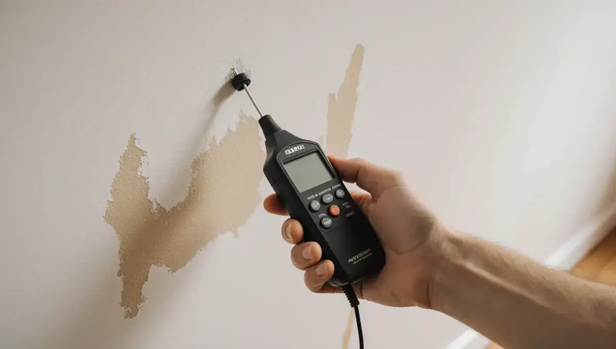
Water damage restoration in Sugar Land usually follows a measured process. The crew extracts standing water first, then uses moisture meters and thermal cameras to map how far it moved under hardwood, tile and baseboards. In an open floor plan, a leak can spread across several rooms before it is found.
Next comes structural drying, with air movers and dehumidifiers running for several days while readings are logged. Wet insulation and damaged drywall are cut out where needed so the cavity behind can dry.
Once materials test dry, the job moves to water damage repair, including drywall, trim, cabinets and flooring. Ask any restoration company about its licensing, insurance and training, such as IICRC certification, before work begins.
River and Lake Flooding: Cleanup Is a Bigger Job
Flood cleanup in Sugar Land after the Brazos, Oyster Creek or a neighborhood lake rises means dealing with contaminated water. Carpet, pad, insulation and the lower portion of drywall that sat in floodwater are usually removed. Floors and wall framing are then cleaned and disinfected before drying equipment goes in.
Keep a running list and photos of everything removed for your insurance adjuster. Learn more about flood damage restoration and what it typically includes. Commercial property managers, from retail centers to office buildings, can use the same 24/7 line at (888) 817-5061.
Mold Prevention and Texas Mold Licensing
The EPA advises drying wet materials within 24 to 48 hours, because mold can start growing in that window. Sugar Land's wet season runs roughly April through October, and humid summer air makes quick drying harder without equipment.
Texas licenses mold assessors and remediators through the Texas Department of Licensing and Regulation (TDLR). Generally, a licensed professional is required for mold of 25 contiguous square feet or more, and the person or company that assesses the mold may not also remediate it on the same project. After remediation, a Certificate of Mold Remediation is to be issued within 10 days. Check credentials on the TDLR License Search.
For more on mold cleanup in Sugar Land, see our mold removal overview.
Coverage Questions Sugar Land Owners Ask
- Flood coverage is separate. Standard homeowners policies generally exclude flood. An NFIP or private flood policy covers it, and NFIP policies usually have a 30-day waiting period before they take effect.
- Leaks are judged by how they happen. Most Texas homeowner policies cover only sudden and accidental leaks, according to the Texas Attorney General, and may cap mold remediation.
- Report quickly. Notify your insurer soon after the loss and keep the restoration company's moisture readings and invoices.
WaterQ cannot tell you how a claim will be decided, but a complete record of the damage gives you the strongest footing.
Sugar Land Communities and Nearby Fort Bend Areas
WaterQ connects callers across Sugar Land's master-planned communities and the surrounding Fort Bend County area with independent local restoration companies.
Neighborhoods
- First Colony
- Sugar Creek
- Telfair
- Riverstone
- Imperial
- Greatwood
- New Territory
- River Park
- Covington Woods
- Venetian Estates
- Sugar Mill
- Avalon
- Commonwealth
- Sugar Lakes
- Canyon Gate on the Brazos
- Tara Colony
Nearby communities
- Houston
- Stafford
- Missouri City
- Meadows Place
- Richmond
- Rosenberg
- Pecan Grove
- Fresno
- Katy
Sugar Land Water Damage FAQ
How do I know if the Brazos River is likely to flood near Sugar Land?
Watch the National Weather Service gauge for the Brazos River at Richmond. Minor flooding begins at 45 feet and major flooding at 50 feet. The record is 55.19 feet, set on September 1, 2017.
Can the lake behind my house cause flooding?
Many Sugar Land community lakes connect to Oyster Creek or the Brazos River, so their levels can rise with the larger system during major storms. Check your FEMA flood zone and keep belongings off the floor in vulnerable rooms.
Does subsidence really affect flood risk in Sugar Land?
Yes. The area sank more than 6 feet between 1988 and 2016, and Harvey's flooding was worse than it would have been without that lowering. Older flood experience may not reflect current risk.
Who can legally remove mold from my home in Texas?
For mold of 25 contiguous square feet or more, Texas generally requires a TDLR-licensed remediator, and a separate licensed assessor must handle the assessment. You can check both on the TDLR License Search.
Is WaterQ the company that does the work?
No. WaterQ is a free referral service available 24/7. We connect you with an independent local restoration company, which inspects the damage and performs the work.
Local emergency and flood resources
Official sources for alerts, flood maps and preparedness in and around Sugar Land: